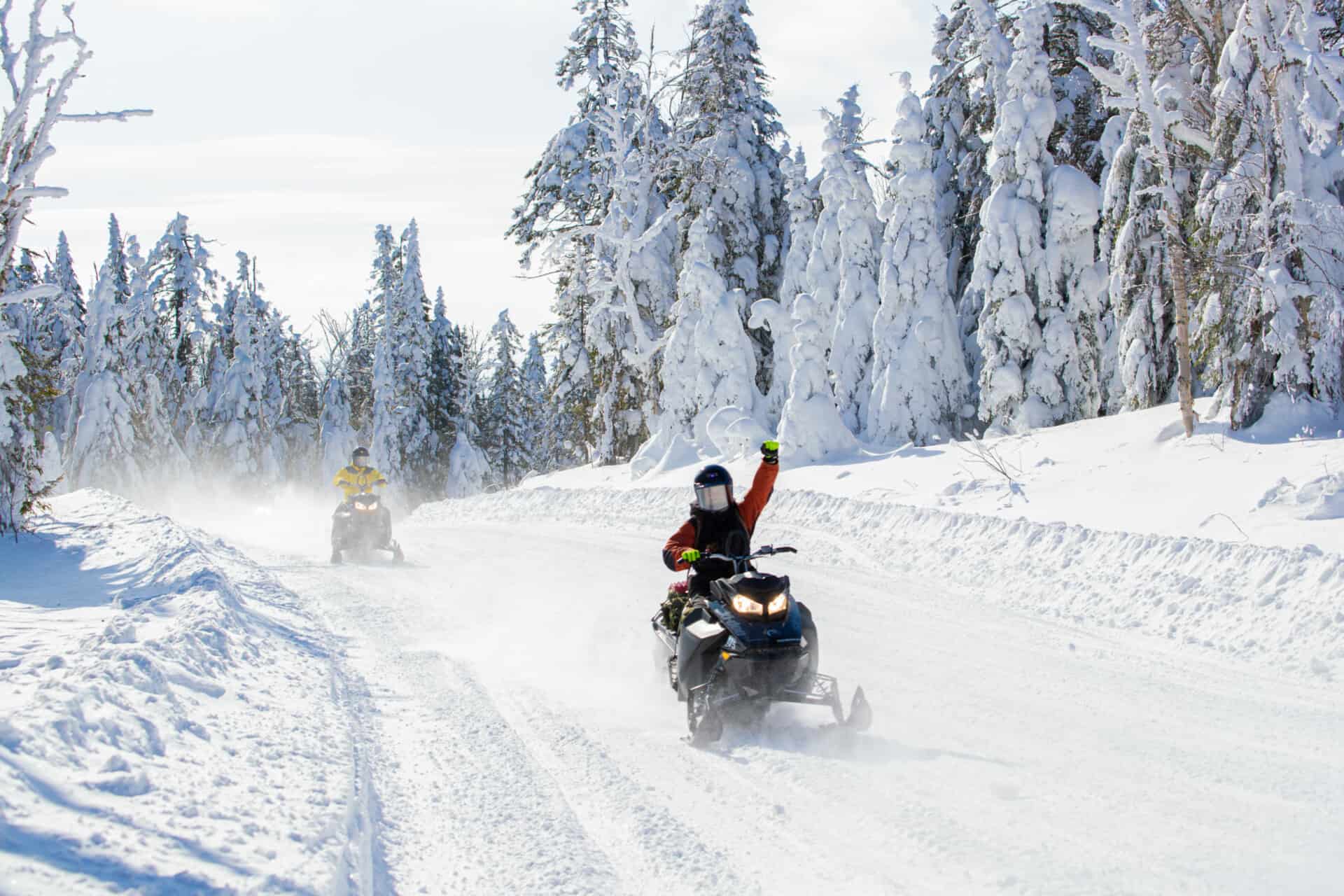
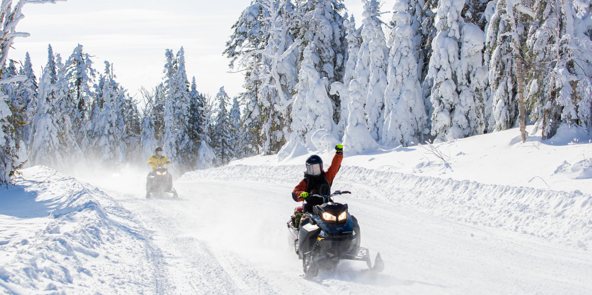
Attrait touristique des Hautes-Laurentides coup de coeur

In short

443 KM circuit
Start your journey with the majestic Montagne du Diable and stop at Windigo Falls. You will then continue towards the Baskatong reservoir before starting your long forestry hike in the northern Upper-Laurentians with our renowned outfitters!

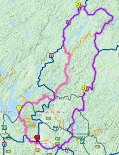
Itinerary on the interactive map
Laurentian Snowmobile Map

Departure from Mont-Laurier

  1. Take N for 0.8 KM
  2. Take L for 1.3 KM
  3. Take T13 for 13.7 KM
  4. Take L for 23.1 KM
  5. Take R322 for 2.7 KM

Item 1: Windigo Village

Village Windigo

  1. Continue R322 for 17 KM
  2. Take L for 27.3 KM
  3. Take T13 for 4 KM
  4. Take N for 6.7 KM
  5. Take L for 45.6 KM
  6. Take N for 9.9 KM
  7. Take L for 2.1 KM
  8. Take T13 for 40.8 KM

Item 2: Fer à Cheval Outfitters

Fer à Cheval Outfitter

  1. Continue T13 for 9.4 KM
  2. Take T33 for 85.4 KM
  3. Take T53 for 53.9 KM

Point 3: T53 near Mekoos Outfitters

T53 near Mekoos Outfitters

  1. Continue T53 for 40.4 KM
  2. Take L for 9.3 KM
  3. Take T53 for 22.4 KM
  4. Take T63 for 25.8 KM
  5. Take N for 1.7 KM

Arrival : Mont-Laurier

Download the itinerary


  • Autonomous activity

Address

Motoneigiste en sentier poing levé

Trail(s)

    Pour les contacter

    Pin It on Pinterest